 |
||
Location Enabled Applications |
| Home | Live Local Search | Desktop Software | Mapping Data | Mobile Services | Our Client List | Contact Us | ||||||||||||||||||
|
||||||||||||||||||||||||
|
SUBCOORD,PCCOORD - Australian Postcode and Suburb Map Co-ordinate Tables |
|||||||||||||||||||||||||||||||||||||||||||||||||||||||||||||||||||||||||||||||||||||||||||||||||||||||||||||||||||||||||||||||||||||||||||||||||||||||||||||||||||||||||||||||||||||||||||||||||||||||||||||||||||||||||||||||
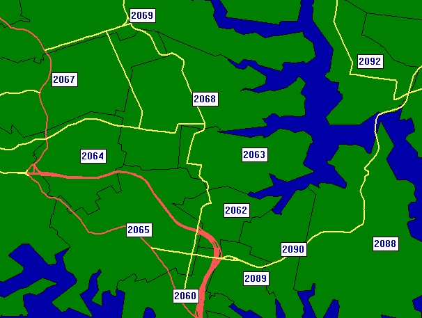
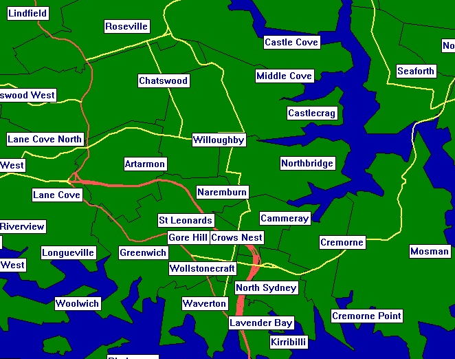
Latest update - 10th October 2018With these products you can lookup coordinates for any postcode or suburb. The Map Coordinate table is available at either Postcode or individual Suburb level for the ultimate in precision. The Postcode product contains separate table for suburb name lookup and postcode co-ordinates (there can, and usually are, multiple suburbs per postcode). The Suburb product contains individual suburb names and co-ordinates in the same record. All tables include all officially recognised suburbs, locality names and deliverable locations, including GPO, Business, Military and more. Attribute columns enable convenient filtering of location type. Attribute Tables Content
Definitions
Postcode LevelTable 1 of 2: Sample - Postcode co-ordinate table:
Table 2 of 2: Sample - Suburb and locality name lookup table
Individual Suburb LevelTable 1 of 1: Sample - Suburb and locality name and co-ordinate table
Sample TablesA sample of records is available in .CSV format for free download and testing.
|
||||||||||||||||||||||||||||||||||||||||||||||||||||||||||||||||||||||||||||||||||||||||||||||||||||||||||||||||||||||||||||||||||||||||||||||||||||||||||||||||||||||||||||||||||||||||||||||||||||||||||||||||||||||||||||||||
Home | Live Local Search | Desktop Software | Mapping Data | Mobile Services | Our Client List | Contact Us | News | Links | Terms |
|
(C) FindMap 2024, All rights reserved. |
|

